Drone Photogrammetry in Community Parks

Our Pioneer Project

Outreach Robotics recently embarked on an innovative project to 3D map parks, creating detailed and accurate representations of local outdoor spaces. Using advanced drone technology and 3D imaging software, they captured every aspect of these parks, from terrain variations to tree canopy coverage. This data allows for better management of these public areas, supporting local authorities in maintaining parks more efficiently. It also opens up opportunities for community members to interact with these spaces virtually, allowing people to explore and plan visits, particularly benefitting those with mobility limitations.

OUR APPROACH​

01

— Fly & Scan

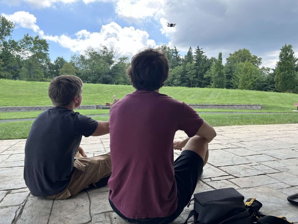
We kicked things off with the DJI Mavic Air, flying the drone over the park to capture high-resolution images and data. We spent countless hours carefully scanning every corner, making sure we didn’t miss a single detail. This aerial surveying laid the groundwork, giving us the raw data needed to create an incredibly accurate model of the park’s layout and natural features.

02

— Stitch & Build

After gathering the drone data, we ran it through ODM (OpenDroneMap), an open-source software that transforms images into 3D models. This step involved stitching together all of our individual shots into a cohesive digital map, bringing the park to life in a virtual environment. The model includes everything from the smallest hill to the tallest tree, offering a complete, interactive view of the space.

03

— Refine & Share

Once the 3D model was ready, we took it into Blender software for some fine-tuning. This is where we polished up the visuals, ensuring every feature looked sharp and realistic. After that, we imported the model onto our website, making it easily accessible for anyone to explore. This final step brought the project full circle, turning all the hard work into something tangible and beneficial for the community.

Hansell Park

Hansell Park is a thirty-nine acre site located at the intersection of Route 413 and Hansell Road. The park features the new band shelter, walking trails, a pond and a playground. All Family Fun Concert Series are held at the Band Shelter.

CONTACT US

For questions, volunteer opportunities, and donation options. Reach out to us to help make a difference.